So cute! Qinghai researchers paint “portrait” of lakes based on satellite images
Reporters learned on December 17 from the Qinghai Geological Survey Institute that recently, scientific researchers at the institute used high-scoring satellite images of many lakes in Qinghai Province as a model to draw cartoon “portraits” of these lakes.
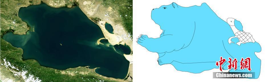
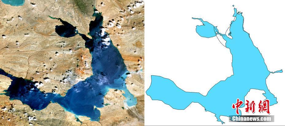
A synthetic satellite image of Qinghai Lake and its “portrait”. Qinghai Lake is like a large bear carrying a small turtle on its back. The turtle’s “hat” is Gahai. Photo provided by the Qinghai Geological Survey Institute.
Tso Ngoring Lake in the source region of the Yellow River.
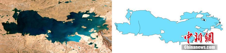
Bright Mirror Lake in Yushu Tibetan Autonomous Prefecture, Qinghai Province.
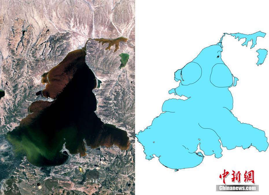
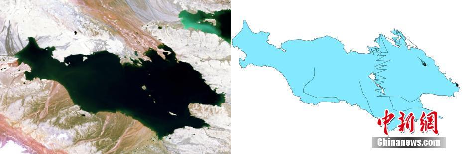
Chibu Zhangtso Lake, which straddles the Tibet Autonomous Region and the Qinghai province. From the satellite image, Chibu Zhangtso Lake is like a wolf shouting into the sky.
Hoh Xil Lake in Qinghai.
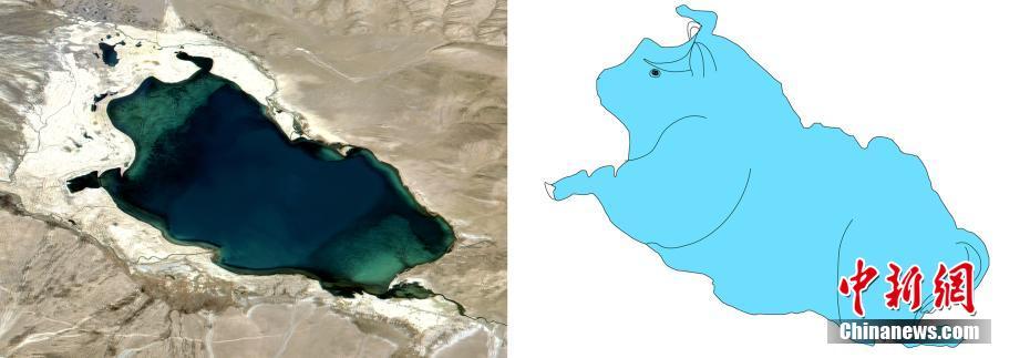
An anonymous lake, 55 kilometers north of Hoh Xil Salt Lake in Qinghai. The area is small and looks like a water buffalo lying down.
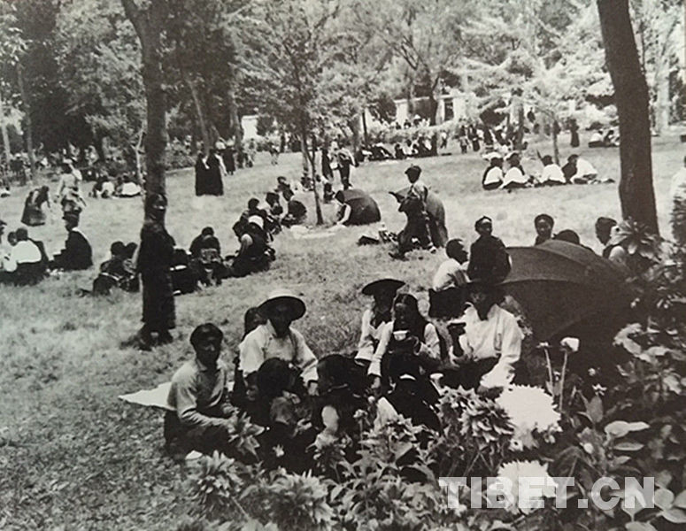
Tibet Stories
70 Years on: Drawing the newest, most beautiful blueprint on Tibetan Plateau
There have been three construction surges in Tibet in the last century.