Surveyor rises to occasion again in Tibet
Expert involved in three missions reveals technical side of arduous task
Measuring the height of Qomolangma, the world's tallest mountain, is a challenge 42-year-old surveyor Bai Huagang has conquered more than once. Swarthy and slim, the native of Xi'an, Shaanxi province, has measured the height of Qomolangma three times-in 1998, 2005 and last year.
A phlegmatic character when it comes to discussing his achievements, Bai joked that he burned a lot of energy on the Qomolangma expeditions.
"Losing 33 or 44 pounds is a piece of cake," he said.
In 1997, Bai started work at the 1st Geodetic Surveying Brigade at the Ministry of Natural Resources after graduating from college. The next year his first major job was to measure Qomolangma, known as Mount Everest in the West, with his colleagues.
The first assignment left a deep impression on him. The expedition members drove by truck from Xi'an to the foot of Qomolangma. Along the way they stopped at Golmud in Qinghai province for two days, where Bai acclimatized himself to the higher altitude at 2,008 meters above sea level.
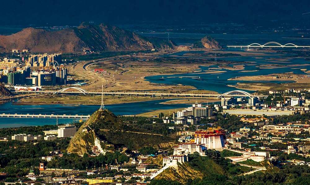
The survey team then headed to Lhasa in the Tibet autonomous region, where they rested for several days and brought food supplies and necessities.
They eventually arrived at Qomolangma and set up a base camp 5,200 meters above sea level.
For the three measurements of the mountain that Bai participated in, correct stationing of the base camp was a must.
"The mountaineering period on Qomolangma every year is fixed, lasting from the end of March to the end of May," Bai said.
"Our survey team must reach the summit during the window period due to the severe weather and the special geographical environment of Qomolangma."
At the peak of the mountain, about every 10 days there is a window of opportunity for the survey team to take measurements when the weather is good, he said.
In their downtime, Bai and other members rested and adjusted and tested the survey equipment.
Despite taking part in three expeditions, Bai has never been to the summit with the surveyors. He said his job was to keep the equipment used on the peak in good order and train team members how to use it correctly.
At another base camp at 6,500 meters, where it usually snowed heavily, Bai said his main job was to instruct his fellow surveyors how to use radar and surveyor's beacon.
During last year's expedition, the equipment used included snow-depth detection radar, a global navigation satellite system receiver and a summit survey maker. Bai said some of the equipment was customized for the expedition.
Measuring Qomolangma took from March 2 to May 29 and involved 53 team members.
Bai said based on the experiences of previous climbing expeditions, last year they paid greater attention to the design of the survey maker to make it easier for the mapping teams. "What's more, the survey maker that we use now is totally made in China, and it is produced in a factory in Changzhou, Jiangsu province," he said.
While multiple surveying and mapping tools were used, the heavier equipment could only be transported by vehicle to 5,200 meters."Higher than that altitude we have to rely on the yaks and porters to carry stuff to the peak," he said.
Different from regular mountaineering teams, the surveying brigade had its own second base camp at 5,300 meters, and the surveyors stationed there provide supplies for each position where measurements were taken.
"Sometimes, when we're on the mountain, telecommunications don't work, and our colleagues at the second base camp will take care of that," Bai said. "Also the second base camp is the juncture for transporting supplies. The measuring spots are six in total; three in the west and three in the east."
According to Bai, the surveying brigade also needs to conduct comparative analyses of the results by using different satellite systems, such as Beidou and GPS.
"Through multiple observations conducted at the same time, the more satellites we've been synchronously using, the more accurate our measurements will be," Bai said.
As the weather on Qomolangma may change at any time, obtaining the best meteorological information helped with the accuracy of measurements, he said.
Despite meticulous planning and preparation, the survey team sometimes encountered problems beyond their control.
In December 2019, during a mapping task conducted in Lhasa, the radar signal was interfered with and the drawing didn't match the actual mapping.
Over the past 20 years, Bai has had little time for himself and said he only spends three months a year at home.
While he enjoyed doing the remote fieldwork when he was young, his job now entails more responsibilities.
"But it's gratifying that we are using and going to use more and more advanced products made in China now and in the future," he said.
For the record, until the next expedition, Qomolangma is 8848.86 meters above sea level.
Tibet Stories
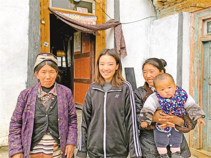
Happy life of Tsering Yuzhen’s family
Every time it rained, the house leaked. In 2016, the government helped us renovate and expan...