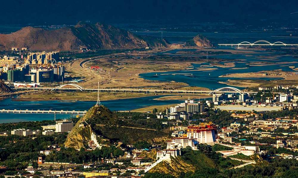
Chinese surveying team reaches Mount Qomolangma summit
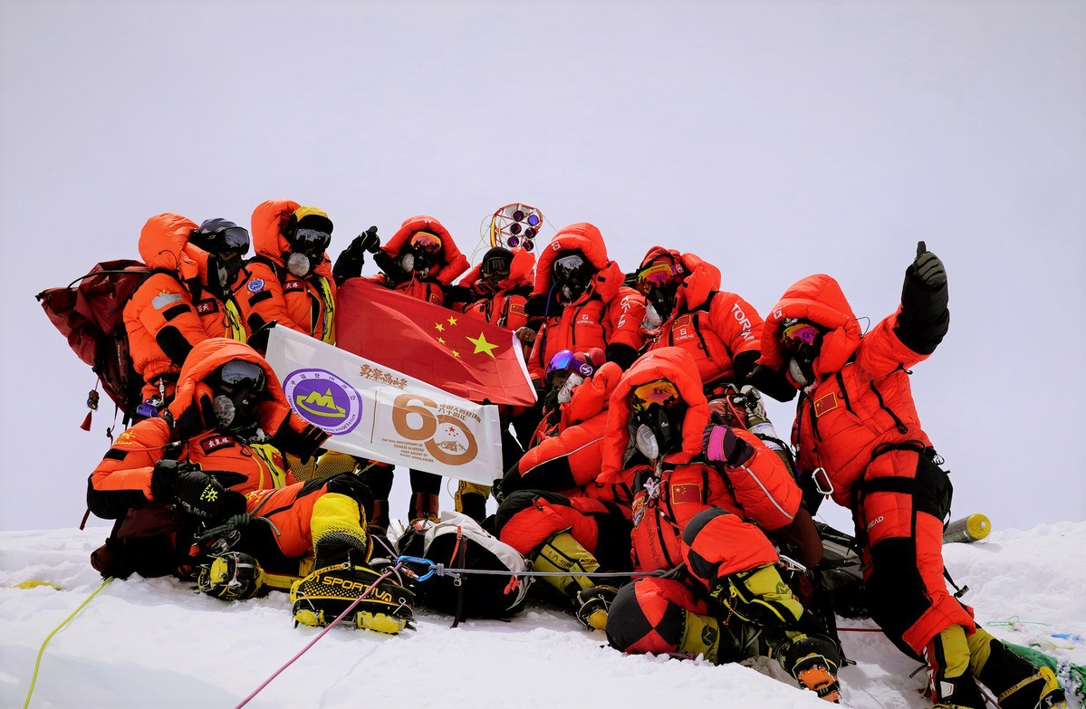
Members of a Chinese surveying team take group photos at the summit of Mt. Qomolangma on May 27, 2020. [Photo/Xinhua]
A Chinese surveying team reached the summit of Mount Qomolangma on Wednesday morning to conduct a series of surveys on the pinnacle of the planet.
The event marked a crucial step in China's mission to remeasure the height of the world's highest peak, which scientists believe will enhance human knowledge of nature and help boost scientific development.
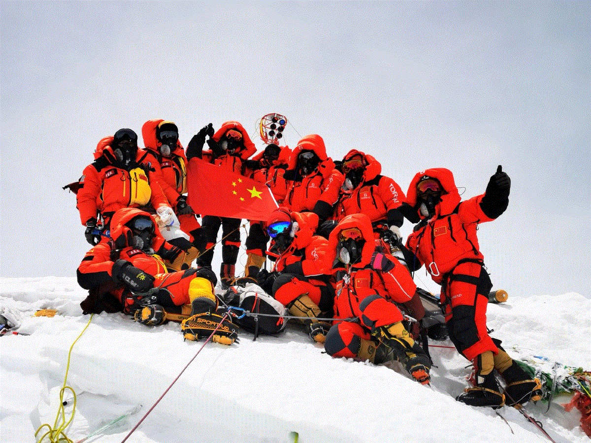
Members of a Chinese surveying team take group photos at the summit of Mt. Qomolangma on May 27, 2020. [Photo/Xinhua]
After summiting, team members began erecting a survey marker on the snow-covered peak, which measures less than 20 square meters.
The surveying team set off for the summit from an assault camp at an altitude of 8,300 meters at around 2:10 am Wednesday.
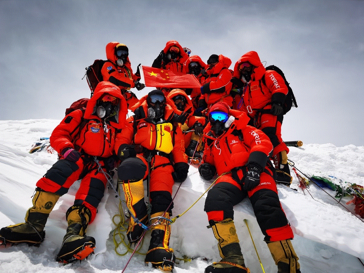
Members of a Chinese surveying team take group photos at the summit of Mt. Qomolangma on May 27, 2020. [Photo/Xinhua]
Members of a Chinese surveying team reached Mt. Qomolangma summit at 11 am Wednesday
The Chinese team tasked with remeasuring Mount Qomolangma successfully arrived at the summit at 11 am this morning, according to the Ministry of Natural Resources.
A surveyor's beacon, an important piece of measuring equipment, has been placed on the summit, the ministry said.
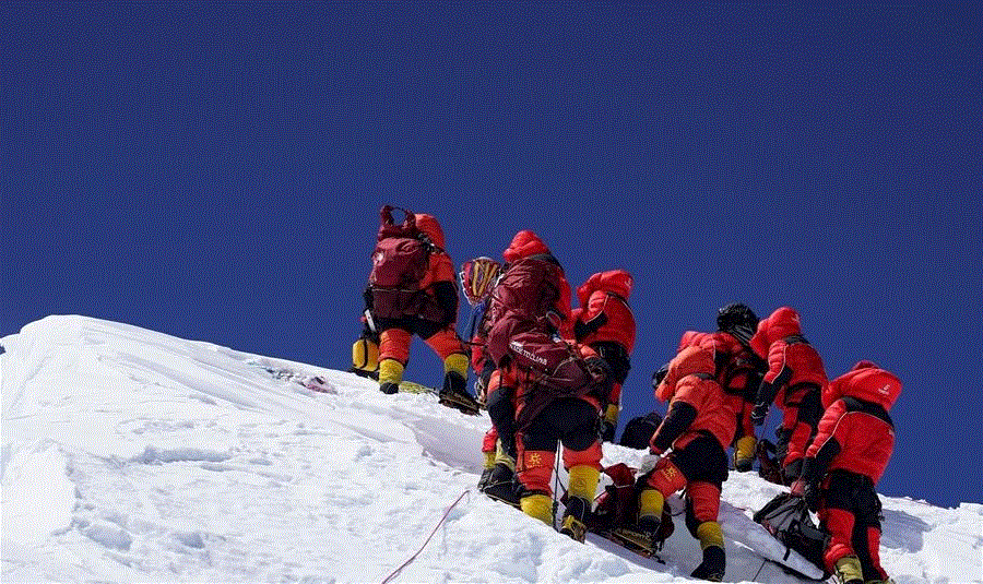
Members of a Chinese surveying team reach the summit of Mt. Qomolangma on May 27, 2020. A Chinese surveying team reached the summit of Mount Qomolangma on Wednesday morning, a crucial step in the country's mission to remeasure the height of the world's highest peak. [Photo/Xinhua]
The surveyors will use a global navigation satellite system receiver, a gravimeter, snow-depth radar and a meteorological measuring instrument to determine the height of Qomolangma.
Innovations applied in the latest survey include the application of the BeiDou-3 Navigation Satellite System, domestic surveying equipment, the airborne gravimeter and 3D interactive virtual reality.
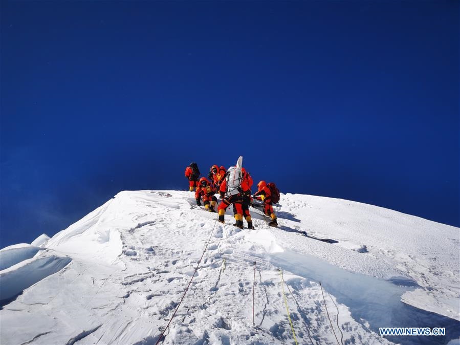
Members of a Chinese surveying team reach the summit of Mt. Qomolangma on May 27, 2020. A Chinese surveying team reached the summit of Mount Qomolangma on Wednesday morning, a crucial step in the country's mission to remeasure the height of the world's highest peak. [Photo/Xinhua]
This year marks the 60th anniversary of the first successful expedition to Qomolangma from the Tibet side and the 45th anniversary of China's first accurate measurement of Qomolangma's height.
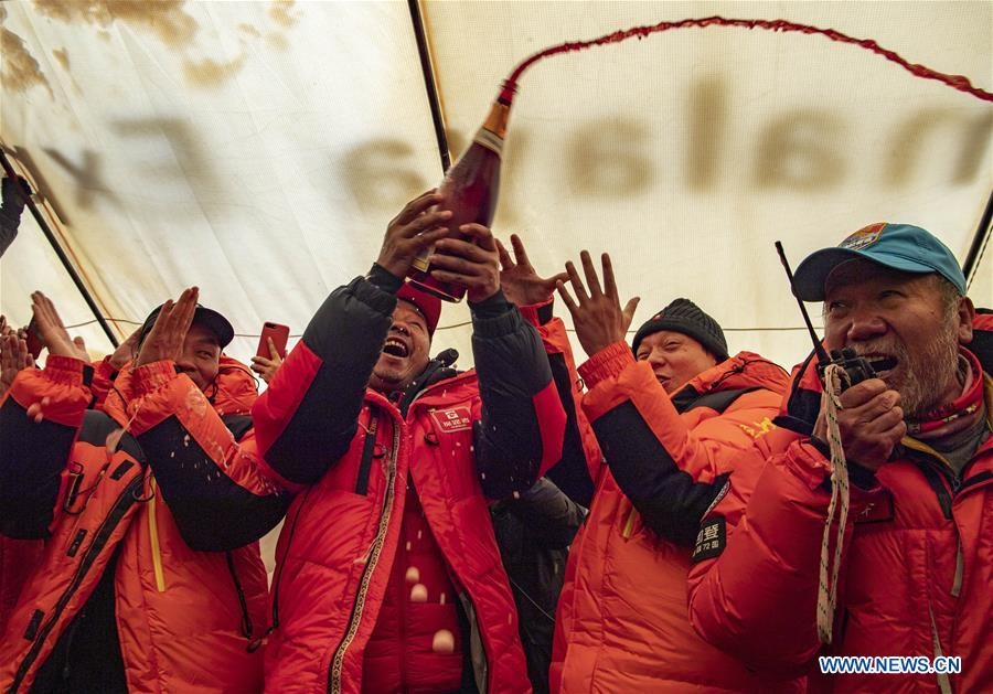
Staff members celebrate the summiting of Mount Qomolangma by a Chinese surveying team at the Mount Qomolangma base camp in Southwest China's Tibet autonomous region, May 27, 2020. A Chinese surveying team reached the summit of Mount Qomolangma on Wednesday morning to conduct a series of surveys on the pinnacle of the planet. The event marked a crucial step in China's mission to remeasure the height of the world's highest peak, which scientists believe will enhance human knowledge of nature and help boost scientific development. After summiting, team members began erecting a survey marker on the snow-covered peak, which measures less than 20 square meters. [Photo/Xinhua]
The measurement was jointly organized by the Ministry of Natural Resources, the Ministry of Foreign Affairs, the General Administration of Sports of China and the regional government of the Tibet autonomous region.
The 1st Geodetic Surveying Brigade under the ministry, as well as members of the China Mountaineering Team, are the two parties undertaking the challenging mission, according to Wang Yongfeng, deputy head of the mountaineering sports management center with the sports administration.
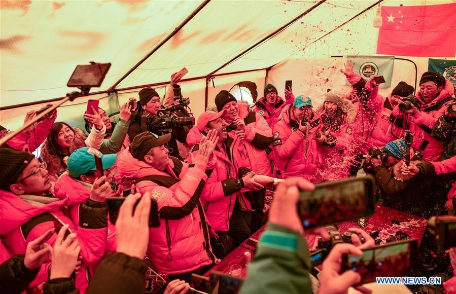
Staff members celebrate the summiting of Mount Qomolangma by a Chinese surveying team at the Mount Qomolangma base camp in Southwest China's Tibet autonomous region, May 27, 2020. [Photo/Xinhua]
Since the founding of the People's Republic of China in 1949, Chinese surveyors have conducted six rounds of scaled measurement and scientific research on Mount Qomolangma and released the height of the peak twice in 1975 and 2005, with findings of 8,848.13 meters and 8,844.43 meters respectively.
In 1975, when the Chinese mountaineering team scaled Mount Qomolangma, no professional surveyors reached the top. But the mountaineers took a survey marker to the summit, which helped surveyors from nine observation stations near the mountain to calculate it stood 8,848.13 meters high.
Stories
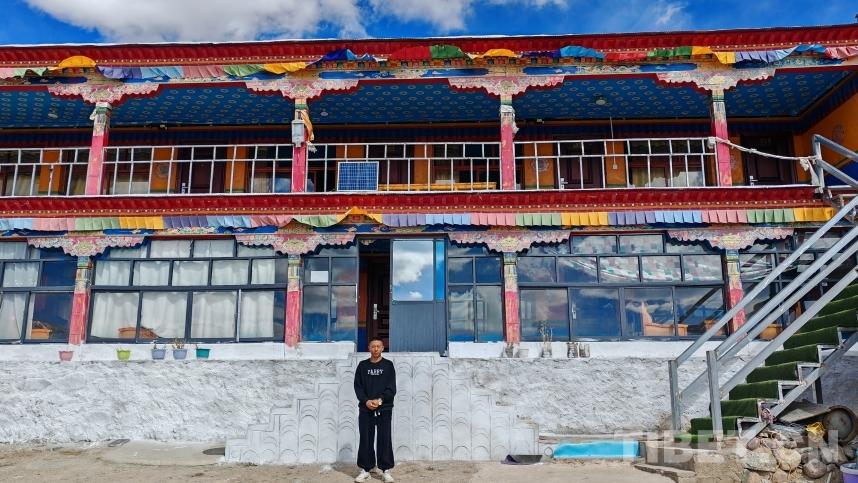
Path to Better Life for People in Ombu Community, Nagqu
Yomzhong, at the age of 26, runs his own homestay beside Tangra Yumco Lake.
Editor’s Choice
- Six Scholars Talked about Good-neighborly Friendship and Community of Shared Future
- The origins of the Zangnan area disputes
- China Brooks No External Interference in Zangnan Area
- It is groundless accusation smearing the boarding school in Xizang
- Xizang fully guarantees freedom of religious belief: white paper