Remote sensing identifies permafrost risks on Qinghai-Tibet Plateau
Chinese scientists are using unmanned aerial vehicles (UAVs) and thermal infrared remote-sensing technology to monitor permafrost changes on the Qinghai-Tibet Plateau, providing early warning of geological risks in major engineering projects.
The Qinghai-Tibet Plateau is home to large stretches of permafrost, which supports many engineering projects, such as the Qinghai-Tibet Railway, the Qinghai-Tibet Highway and the Qinghai-Tibet grid interconnection project.
Due to global warming and human activity, permafrost on the plateau has degraded significantly. Its rapid thawing can lead to instability, causing land slippages and other geological hazards. Engineered structures in the permafrost region could be deformed or unstable in the future.
Scientists from the Northwest Institute of Eco-Environment and Resources (NIEER) under the Chinese Academy of Sciences are using UAV-based thermal infrared remote-sensing to closely monitor the permafrost.
The researchers use a miniature UAV with a thermal infrared sensor and 3D LiDAR (light detection and ranging) to collect thermal images. They evaluate the thermal dynamics of permafrost slopes and the relationship between infrastructure and permafrost change.
Luo Lihui, of NIEER, said the UAV is a relatively new remote-sensing platform compared with piloted aircraft, satellites and in situ observation.
"It has the advantages of low cost and operational flexibility. Above all, it can collect images with high temporal-spatial resolution, leading to more accurate analysis of permafrost," Luo said.
The thermal change and deformation characteristics of permafrost collected in the research could help assess potential engineering risks. The research was published in the Landslides and Geoscientific Model Development journals.
"The research might also provide new insights into the future design, construction, and maintenance of engineering structures on the surrounding permafrost slopes," Luo said.
The team also developed a Permafrost Indices Computing model, in which 16 temperature and depth-related indices are integrated to estimate possible trends on the Qinghai-Tibet Plateau.
The emergency and risk management department of the Qinghai Meteorological Bureau is using the model in early warning and risk management work.
Your Comment
Name E-mailRelated News
-
-
-
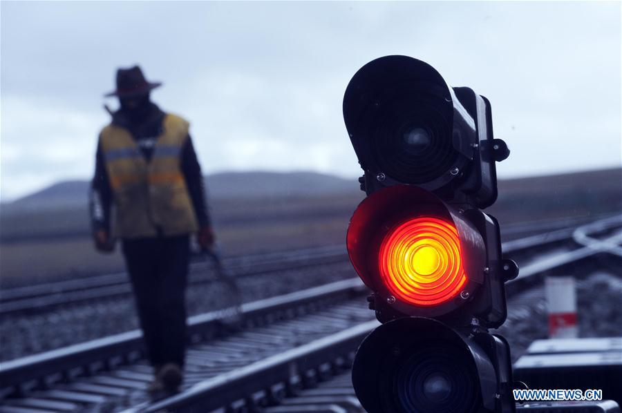
Maintenance workers reinforce tracks of Qinghai-Tibet railway
Maintenance workers stick to their posts everyday to guarantee the operation of the Qinghai-Tibet railway at the Tanggula Station with an altitude of 5,072 meters above sea level.
-
-
-
-
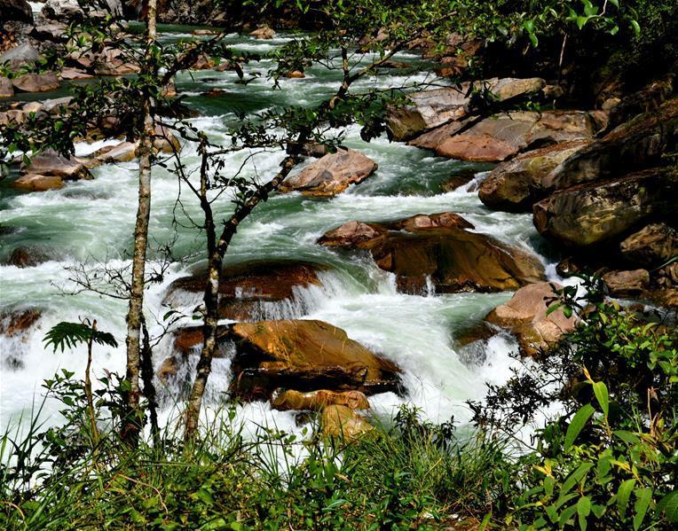
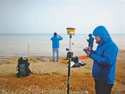
Precise monitoring of ecological environment of plateau rivers, lakes
China's first precise monitoring of the ecological environment of plateau rivers and lakes has been conducted recently.
-
-
-
-
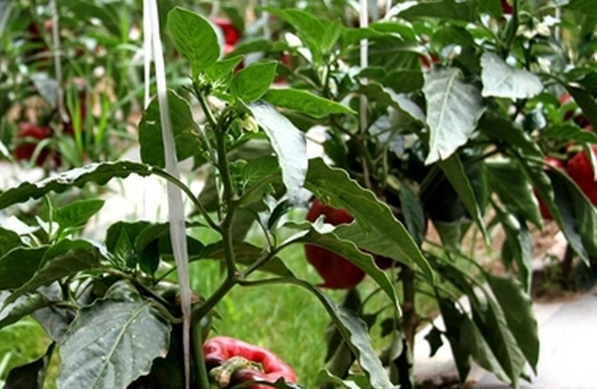
Qinghai-Tibet Plateau vegetables set for Hong Kong
Vegetables grown in the Qinghai-Tibet Plateau will be served in Hong Kong in October, according to Litang county government Tuesday.
-
-
-
-
Relocation changing lives on Tibetan plateau
Wearing red lambskin clothing and a fur hat, Rigzin cracked a herding whip to drive his sheep home. In front of his house, he took a photo with the livestock, for perhaps the last time on the prairie where he has lived for more than 40 years.
-